- Город
- Санкт-Петербург
- На сайте с
- 2022 года
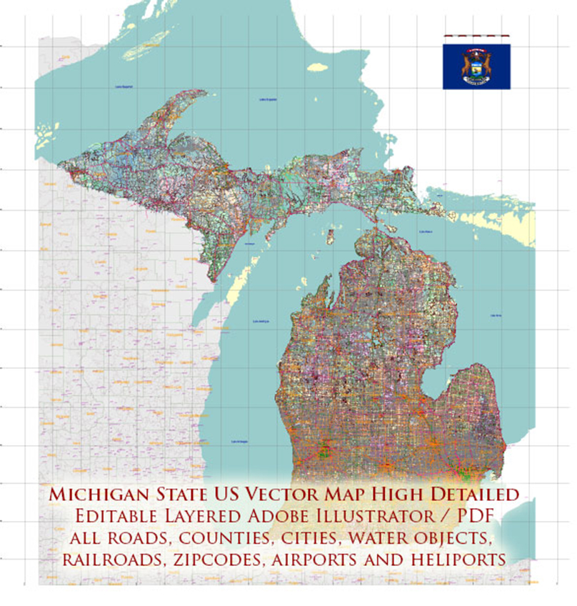
Printable PDF Vector Map of Michigan State (Full Area), US detailed fully editable Adobe PDF Road Map in layers, scalable, text/curves format all names, 282 MB ZIP
All streets and roads, Main Objects, Railroads, Airports, Zipcodes, Counties. Map for design, printing, arts, projects, presentations, for architects, designers, and builders, business, logistics.
https://vectormap.net/product/_michigan-state-us-pdf-vector-map-accurate-roads-plan-high-detailed-street-map-counties-zipcodes-editable-adobe-pdf-in-layers/